Monday, April 28, 2014

Mina Sauk Falls Trail

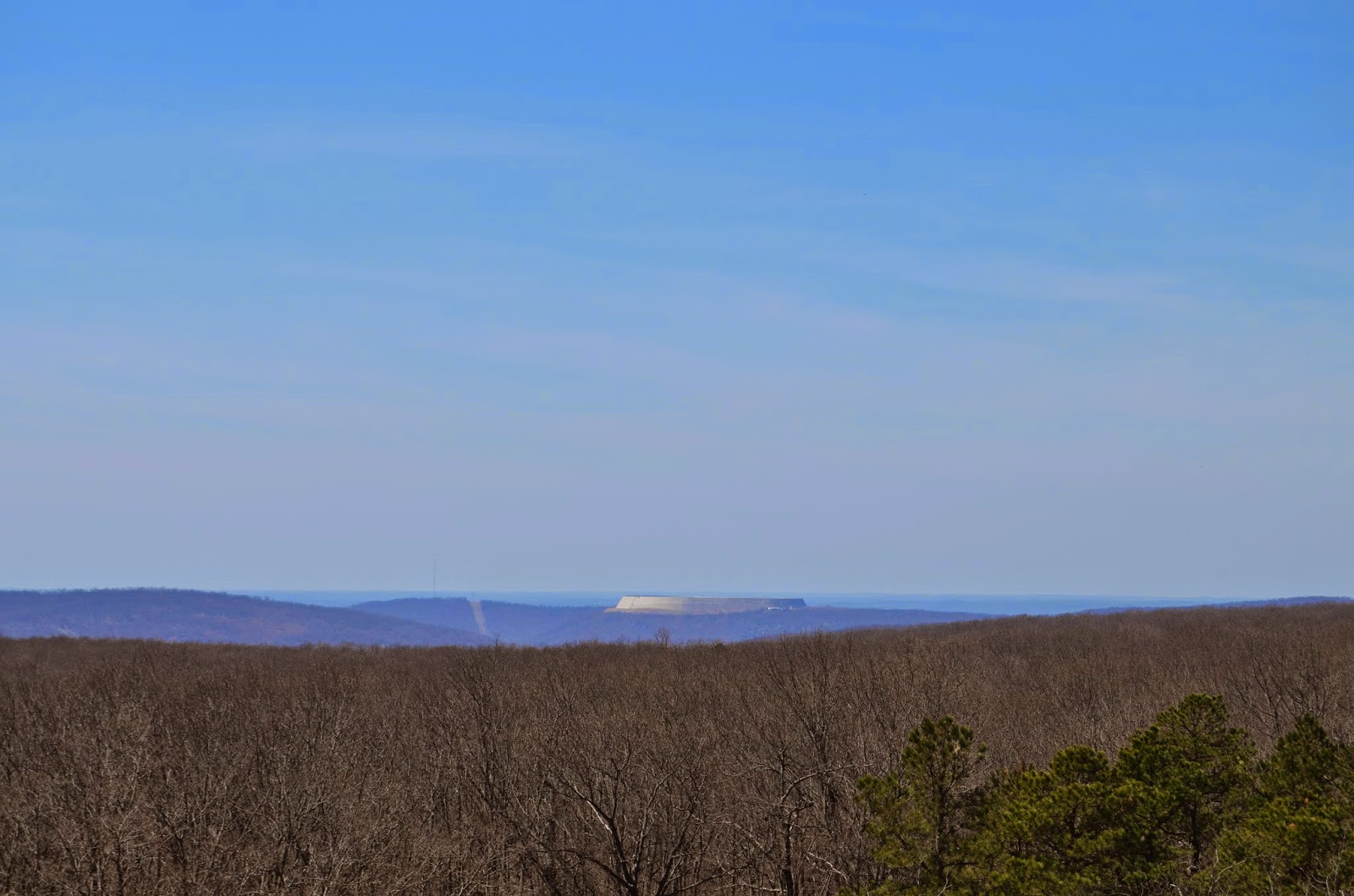
Taum Sauk Mountain is the highest point in Missouri. If this sounds daunting - don't worry, there is parking near the top of the mountain. In fact, you can walk about 500 feet from the parking lot and say that you've "hiked" to the highest elevation in the big MO!

But it is not the plaque that is the main attraction here (at least, in my humble opinion). It is the falls about 1.5 miles down the mountainside from this point that are really worth seeing. 
Base of Taum Sauk Falls
Taum Sauk Falls outflow

They look the best after a heavy rain, but the trail to them is easily flooded. So if you go - wear shoes which you don't mind getting muddy and be prepared for a long and slow hike back to the car!


The Taum Sauk Falls trail interconnects with the Ozark Trail and is part of a connecting trail that is only 13 miles to Johnson's Shut-Ins SP, which could make for a nice hike. I would certainly advise wearing your sturdy boots due to the amount of loose rocks along the trail. I have weak ankles, and my boots saved me more than once on this trail!

Be sure to visit the look out tower while you are at the falls. As you are driving the road will come to a Y, and you will take a left to go to the tower and a right to the falls. The tower used to be used to watch for wildfires, but has been decommissioned and serves as a beautiful view for tourists.


Below is a link to the park site, enjoy!!

http://www.mostateparks.com/park/taum-sauk-mountain-state-park


Wednesday, April 23, 2014

Elephant Rock SP

Ok, this area isn't exactly off trail or hard to find - but it is worth a post for sure! If you haven't been there, go. If you have been there, go again. Seriously, it's that good.


You can explore anywhere you can actually get to. Climbing is without restriction and encouraged! There are rocks ranging from the size of your hand, to the size of a large car. I would plan on spending at least an hour and a half to see the park depending on how fast you move.


At Elephant Rock SP I saw individuals ranging in age from 6 to 66 enjoying the area and being challenged. It is a good place to take the family or to just explore on your own/with friends. This is one of the few places I've found that I think it's more fun with company, simply because it's fun to race across the tops of the rocks and challenge one another to different levels of jumps and climbs.  


Every time I have been there, it has been very busy, so be prepared. It is very unlikely you'll get the place to yourself. But, no matter how busy, it's always possible to find corners that you'll have to yourself. 


Below is a link for the park's website where you can find directions. The park will also appear on most GPS systems. 


Thursday, April 17, 2014

Hercules Glades WA

Ok, I know this is going to get repetitive, but this has got to be the best place I've visited all year! Seriously worth the 2.5 hour drive - I just wish I had brought my gear with me. Anyway, on to the area. You start by parking your car on the side of the road in a cleared area and cross the road to get to the trail head (There are three trail heads in the area that lead to six different trails which, combined, make up about 42 miles worth of hiking. Not too shabby. But for this post I will focus on the trail I took today). You'll hike for about 2.7 miles along the trail before you come to Long Creek, which is the main attraction. On your way there you will pass through both woodland and desert like plateaus.
Going in the spring offered me a unique view of the many flowering trees and wildflowers that thrive in these types of environments.


But nothing along the entrance trail compares to the Long Creek (which, if you cross the creek when you first come to it, you'll find the trail continues to run along beside). So, instead of words, I'm just going to give you pictures. Though they definitely fall short in capturing the beauty that was there.


When you reach the split in the trail, take the right path if you wish to camp (there is a fairly large area cleared for your tent), but if you wish to continue along the water way take the path to your left. 


It has been fairly dry, so I can only imagine what this place looks like after a heavy rain! Though I would not look forward to trying to hike down to this point in the mud - it would be a slippery slide, that's for sure! 


The trail from the car to the river and back was only about 5.5 miles long, so it's an easy day hike for anyone who doesn't want to camp. I must warn you, once you see this place, you'll never want to leave. I really regret not having my gear with me. As I said earlier, the trails connect to make up 42 miles, so there is plenty of space to roam and eat up the days. Who knows what else is out there to be found? 


To get there you will take hwy 160 east from Forsyth. Stay on this road 21 miles and turn left (north) on hwy 125. Continue on this road for 6.3 miles and turn left (west) on Blair Ridge Road. There is a sign here for the Hercules Glades, but it is so old you can't read it until you are right on top of it. Stay on Blair Ridge Road 2.3 miles and there will be a parking area on your left. The TH will be directly across the road :) 


Below is a topo map of the area, enjoy!


Virgin Pine Forest

Once Southern Missouri was covered with pines, but as time went by and loggers came through, most of the pine forests were wiped out. The Virgin Pine Forest, however, is a rare area that was preserved. It offers a hiking trail, as well as a several mile long driving trail through it. There were several branches of the road I was not able to take in my small car - so I would suggest taking a jeep or a truck if you want to do some real exploring of this area.


If I were to say anything more, it simply wouldn't do the place justice, and it would steal some of the fun of discovery for you. It is located on Hwy 19 (You'll see signs off of the road for it) about 7 miles north of Emminence, MO - or about 2 miles south of the Round Spring depending on which direction you're coming from.

Monday, March 31, 2014

Welch Spring


This is definitely an under advertised spring that is well worth a trip to see! It is hidden in the middle of nowhere down a gravel road that is more pot holes than road. I have a small four door sports car and was definitely wishing for a truck! By the time I pulled in to the "parking lot" I was convinced that I had just made a very bad decision. But, since I was not ready to tackle driving back UP the road, I got out and started hiking the half mile trail (I think parks, when they don't know the distance of a short trail, just label it a half mile. Lol. Just a theory) to the spring. What I found stopped me dead in my tracks...


The spring in winter

The spring feeds into the current river which will be running to your left as you walk out to the spring. Looking across the water, you'll see an old building. It used to be a tuberculosis hospital. Patients would come there hoping the spring water would heal them. Believe it or not, this was a common belief at the time. Needless to say, the building has long since been decommissioned.

A shot from above the spring cave


This will be your first view of the spring


I was not content to sit back and look at this mysterious building from the other side of the spring, so I back tracked to the cliff wall that you can see the spring flowing out of. If you walk back maybe 200 meters from the edge of the spring along the cliff wall you will see a very thin trail that leads up over the cliff and to the other side of the spring. Once there, it is possible to climb in to the building and explore a little bit: 


Interior of the old hospital

Cave entrance


As you can see by the picture on the right, if you make it to the base of the building, there is an old cave opening. The cave does not go very far back (maybe 20 feet?) before it hits spring water and becomes impassable without swimming - which I would not advise. 

Looking back on the entrance of the cave
Couldn't tell how far back the spring water stretched...


Below is a link to the website covering a history of the spring and the hospital. It also includes brief directions to the spring:


Four Winds Trail

This trail is located in the Lake Ozark SP off of hwy 42. Admittedly, I don't particularly like this park too much and I think a big reason for that is how commercialized it is. It feels like most of the park was built for the tourists that frequent the area. However, I must now publicly admit that I judged a bit too quickly. If you turn into the park off of hwy 42 in Osage Beach, mo and continue down the main park road towards the stables, you will pass the trail head for Four Winds Trail. Keep going until you see the gravel turn off directly in front of the park's stables (that are currently empty). The best trail head is on the right side of this gravel road as you turn onto it. You can park behind the stables and walk up to the TH from that point.

Approximately 1.5 miles into the trail from this point you will see a small branch off to the left that is no longer technically part of the trail. Take this branch off. You will shortly come to a service road and see an old sign that says "Overlook .5 miles". That's how you know you're on the right track. Continue following the trail and you will find a Japanese Garden (ok, maybe not exactly. But I think it's rather similar in a wilder sort of way) back in the middle of nowhere.


 If you walk up the ramp, you'll find two trees planted in the middle of a moss heart. I have no idea if nature determined it would be this way, or if man did, and to me it really doesn't matter.


I couldn't help myself, once I was up there I just had to climb the rock ledge it rests on. It's a lot of fun and has some pretty amazing little nooks and crevices. 


I'm still amazed that this is in the middle of the Lake Ozark SP! If I hadn't seen it with my own eyes I probably wouldn't have believed it. If you climb down the rocks and head North into the woods, you'll come across a small stream. Follow it up stream and it opens out into a beautiful cove. The lake stretches out before you and there are nothing but trees lining the water. It's so peaceful, and with the sun glancing off of the water, it's almost magical. There aren't many places left like this at the Lake....

Below is a link for the state park: 


And a link for a map to the park: 


Toronto Springs CA

This is an excellent place to explore. There is a trail to the right of the first parking lot off of highway A as you pull in that lasts about .5 miles and runs along the river/stream. If, however, you go straight into the woods from the parking lot, you'll be free to explore as you wish. This area is fed, as the name leads you to believe, by a number of springs. Four to be exact. So you never have to worry about coming in low water. I discovered the area this past winter, so I haven't seen it after a heavy rain yet, but judging by the debris I would speculate that the river gets up pretty high.


I will usually hike up river until I come to a fallen tree that spans the river and cross that way. There are no trails this direction and certainly no bridges! But for the adventurous spirit, this is a dream come true. 


Be careful when crossing over to the opposite side of the river, however. Last time I was out there I got hung up in some old barbed wire that's been left over from the owners of the land before the state bought it. In my opinion, it is certainly worth the risk! And knowing that it's there makes it that much easier to avoid. Otherwise, you'll end up with bruises like mine: 


Below is a topo map of the area: 


And below is a link to the conservation's website that will tell you a little bit more about the park and what it has to offer (it will also have directions):

http://mdc4.mdc.mo.gov/applications/moatlas/AreaSummaryPage.aspx?txtAreaID=8616